What are Historic Environment Records?
- Posted in:
- Heritage
- GetInvolved
Have you ever wondered what Historic Environment Records (HERs) are or what they are used for? Alongside Historic England, HER offices across England have collaborated together to produce two wonderful introductory short films showcasing how HERs work and why they are such a valuable resource.
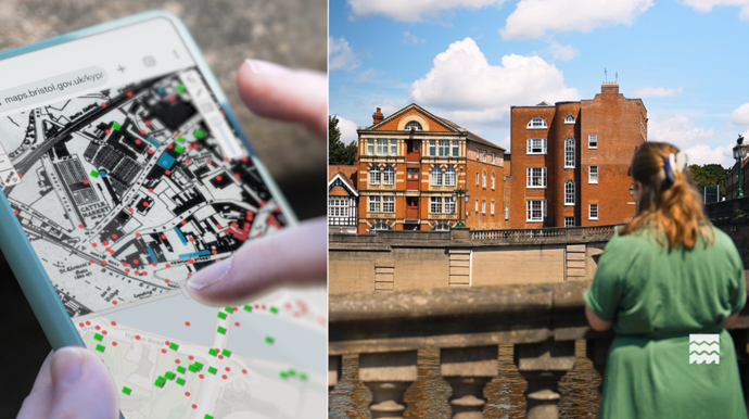
There are over 80 HER offices across England, each bringing together all sorts of information about archaeology, historic buildings and landscapes within its designated area. Together, they provide national coverage - helping people access trusted local knowledge and supporting the understanding, management and conservation of historic places.
Every single HER record brings together written information and geographic data about the historic environment in a particular area. They help planners, researchers, communities and visitors understand what exists, what matters, and how places have evolved over time.
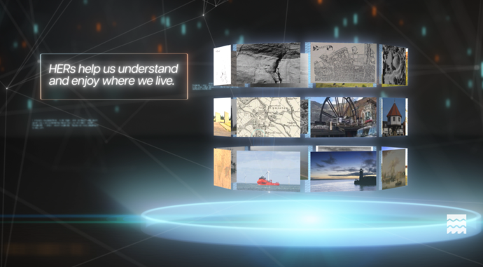
This first short introductory film explains what exactly the Historic Environment Records are in more detail: What are Historic Environment Records?
Why are Historic Environment Records important?
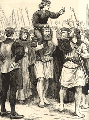
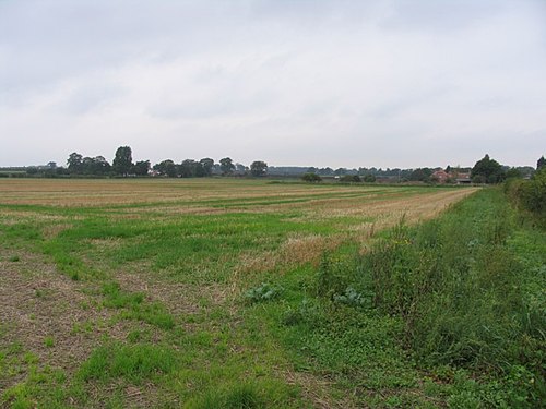
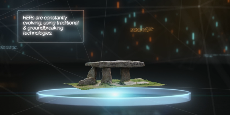
Most of us walk across layers of history every day without realising it. Not just famous landmarks, but ordinary places. Fields. Streets. Buildings. Coastlines. Places we pass without a second thought. What stories do these places hold? Who or what was here before us? The answer is out there, sometimes all it takes is knowing where to look.
This second short collaboration film aims to show why HERs matter: Why Historic Environment Records Matter
Behind every historic record is a person making sense of it.
HER teams work with information, maps and evidence as well as with judgement, context and care. Their role is to help translate layers of the past into something useful for the present. It’s quiet work, but it shapes real decisions about places and landscapes.
Across England, these teams are dedicated to the ongoing effort of keeping track of change, recording what matters, and helping places evolve without losing what makes them special.
Have you ever really looked at where you live? Everything around you has a story that ties the people who use it today to the people who used it in the past, be it a large site like manor house or a small site like a phone box. Explore where you live on our Nottinghamshire County Council HER website, with map and search functions, or get in touch with us at heritage@nottscc.gov.uk.
For more information on Historic Environment Records across England, visit the Historic England website here